
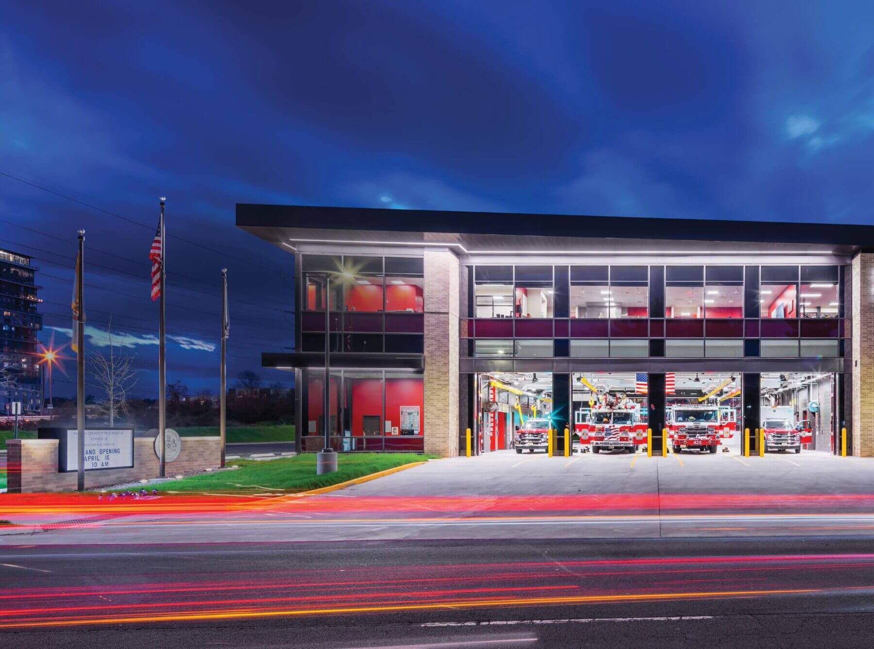
By Travis Miller, MS-PPA, Criterion Associates
This article appears in the 2024 CRACKL Fire Station Design special issue. Order the limited-edition supplement now!
Whether you’re a city manager, fire chief, union president or concerned citizen, the process of deciding when and where a new fire station should be located is a complex one. It’s fraught with challenges from every side: political, policy, fiscal, operational, and of course – the unexpected.
Stakeholders will often have very different views on need, service level objectives, timing, and the best use for available parcels.
Whether your community is growing in population and scope or you are shrinking and facing budget challenges, one thing is critical: that your recommendations about where to put your station(s) are based on repeatable analytical methods.
The use of geographic information systems has become a de facto part of this process. While exceptional analytical results might not drive every decision, the lack of them can put policy makers, managers and labor partners into a no-win situation.
It’s Not All About Response
In the realm of public safety management, the pursuit of faster response times is often viewed as an unequivocal goal. But delving deeper reveals a complex interplay of factors that influence decisions regarding facility location. From budgets and land availability to community concerns and staffing, public safety leaders face myriad considerations when determining the optimal placement of emergency response facilities.
Before delving into the complexities of facility location, it is imperative to understand the components of total response time that can be influenced by such decisions. Facility design and location can impact the ability of first responders to react to calls and reach incidents promptly. While location primarily affects travel time to incidents, it does not directly influence call processing, readiness or on-scene response.
Analyzing response times will highlight fractile performance, assessing the percentage of calls that can be reached within a predefined time frame. This has become a key focus in fire, rescue and EMS discussions. It is driven in large part by NFPA 1710, which took its lead from contracts between municipalities and private EMS providers that set response time effectiveness targets using fractile derived targets.
Getting Communities Aligned
Establishing clear response time standards and objectives is paramount, requiring community consensus and alignment with strategic plans.
Moreover, it is essential to frame the discussion around the overarching goals of minimizing response times, ensuring overlapping coverage in high-demand areas, and adapting to temporal variations in service demands. Many communities look to NFPA 1710, and use the response-time targets of four minutes for the first arriving unit, and eight minutes for the total initial response.
These numbers are derived from research into the efficacy of EMS systems in their response to cardiac arrest, and to extensive research into the behavior of fires in residential structures with no built-in fire suppression systems.
GIS emerges as a powerful tool in the quest for optimal facility locations. By integrating location data with various descriptive information, GIS enables comprehensive mapping, analysis, and visualization of key community questions. Using between three and five years of incident data, GIS facilitates response time studies that address specific queries and scenarios.
These can include where best to locate a new station; which station will have the least negative impact if closed; or where neighboring communities might best co-locate a facility.
In our experience, we have found that fire rescue departments and their municipal leaders frame their objectives in several ways. No one approach is better than the others. But it is critical that some consideration is given to what questions you are trying to answer. Examples might include:
- We have three fire stations today, and our community has grown by 15% in population in some noncore locations. Where should I put a fourth and/or a fifth station?
- Our EMS agency covers three communities in a relatively dense geographic area. Should I spread my stations out, or run from a single station where I can guarantee arrival of at least one ALS ambulance in less than eight minutes to all three communities?
- My fire chief says we need to add a new station. What will that do for our response times to emergency calls?
- Both of my stations are more than 100 years old and no longer meet the agency’s needs. How many stations do I need to cover my city, and where should they go?
- We are finally getting a heavy rescue, and the personnel to staff it. Should I put it downtown or near the freeway?
Through GIS analysis, public safety agencies can address pertinent questions such as accommodating community growth, optimizing station consolidation, or relocating aging facilities to address changing community service demands. Key outputs include fractile performance metrics, coverage assessments and comparative analyses of alternative scenarios. These outputs serve as invaluable resources for engaging stakeholders and informing decision-making processes.
Beyond GIS analysis, evaluating site suitability involves a multifaceted assessment encompassing various physical, logistical, and community-specific factors. Considerations range from site size and accessibility to environmental impacts and competing land uses. The development of a comprehensive site selection matrix, tailored to the community’s needs and priorities, enables systematic evaluation and scoring of potential sites.
Weighting criteria within the selection matrix reflects the community’s values and objectives, whether prioritizing response times, fiscal considerations, or municipal planning goals.
Ultimately, the chosen site should align with broader community needs and facilitate the delivery of critical services effectively.
The evolution of first-response facility location analysis underscores the importance of leveraging modern technologies and data-driven approaches. From rudimentary methods to sophisticated GIS solutions, the landscape of decision-making has evolved significantly.
However, amidst technological advancements, the fundamental challenge remains: balancing the diverse objectives of safety, efficiency, budgetary constraints and community engagement.